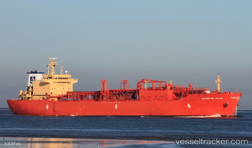
Navigator Atlas
Current StatusWhere is the vessel?
Navigator Atlas is currently in 52 nm SE of San Clodio, based on AIS data received about 14h ago.
Latest AIS update:
Current position: 47.86619° N, 6.37076° W (52 nm SE of San Clodio)
Average speed (last 7 days): Loading…
Average speed (last 30 days): Loading…
Vessel profile: Navigator Atlas is a Lpg Tanker with dimensions 25m x 160m.
This page combines live AIS, route history, probable destination signals, nearby traffic, and port activity for practical vessel monitoring.
The current position of vessel Navigator Atlas is 47.86619 lat / -6.37076 lng. Updated: 2026-05-21 01:10:08 UTCNearest reference points:
- 60 nm SE of San Clodio
- 46 nm W of SEIN
- 35 nm SW of Ile D’Ouessant
Details:
Live Vessel Navigator Atlas Analytics (details, animations, etc.)
Recent AIS points (UTC):
2026-05-20 22:05:57 UTC · 47.23708, -6.92110 · SOG 15.2 kn · COG 30°2026-05-20 22:13:51 UTC · 47.26555, -6.89661 · SOG 15.2 kn · COG 30°
2026-05-21 00:18:07 UTC · 47.68679, -6.52024 · SOG 14.1 kn · COG 30°
2026-05-21 01:10:08 UTC · 47.86619, -6.37076 · SOG 14.4 kn · COG 35°