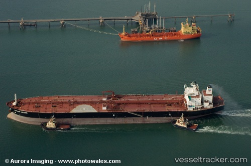
New Friendship
Current StatusWhere is the vessel?
New Friendship is currently in 41 nm E of Strå, based on AIS data received about 14h ago.
Latest AIS update:
Current position: 57.98365° N, 20.28493° E (41 nm E of Strå)
Average speed (last 7 days): Loading…
Average speed (last 30 days): Loading…
Vessel profile: New Friendship is a Crude Oil Tanker with dimensions 42m x 244m.
This page combines live AIS, route history, probable destination signals, nearby traffic, and port activity for practical vessel monitoring.
The current position of vessel New Friendship is 57.98365 lat / 20.28493 lng. Updated: 2026-05-23 06:18:20 UTCNearest reference points:
- 37 nm W of Vikati Sadam
- Near Ventspils
- 11 nm N of Ventspils
Details:
Live Vessel New Friendship Analytics (details, animations, etc.)
Recent AIS points (UTC):
2026-05-23 02:24:20 UTC · 58.60727, 20.97382 · SOG 10.8 kn · COG 210°2026-05-23 03:49:41 UTC · 58.38752, 20.71637 · SOG 11 kn · COG 213°
2026-05-23 04:03:01 UTC · 58.35308, 20.67352 · SOG 11.1 kn · COG 211°
2026-05-23 06:18:20 UTC · 57.98365, 20.28493 · SOG 11.2 kn · COG 206°