 PANOPI
Current Status
Where is the vessel?
PANOPI is currently in 31 nm NE of Qulaybiyah, based on AIS data received about 15h ago.
Latest AIS update:
Current position: 37.22403° N, 11.55632° E (31 nm NE of Qulaybiyah)
Average speed (last 7 days): Loading…
Average speed (last 30 days): Loading…
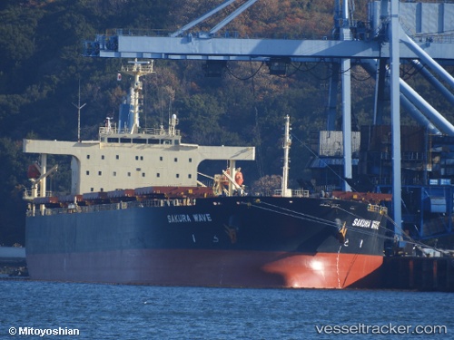
Vessel profile: PANOPI is a Bulk Carrier with dimensions 38m x 229m.
This page combines live AIS, route history, probable destination signals, nearby traffic, and port activity for practical vessel monitoring.
The current position of vessel PANOPI is 37.22403 lat / 11.55632 lng. Updated: 2026-05-21 14:06:49 UTCNearest reference points:
- 13 nm N of Qulaybiyah
- 32 nm N of Qulaybiyah
- Near MARSALA
Currently sailing under the flag of Liberia ![]()
PANOPI built in 2010 year
Deadweight:
88299 tDetails:
Live Vessel PANOPI Analytics (details, animations, etc.)
Recent AIS points (UTC):
2026-05-21 10:58:58 UTC · 37.45488, 10.83445 · SOG 11.9 kn · COG 106°2026-05-21 11:36:19 UTC · 37.42255, 10.98600 · SOG 12.1 kn · COG 110°
2026-05-21 13:39:09 UTC · 37.25810, 11.45630 · SOG 11.5 kn · COG 114°
2026-05-21 14:06:49 UTC · 37.22403, 11.55632 · SOG 11.2 kn · COG 115°