 GSL TEGEA
Current Status
Where is the vessel?
GSL TEGEA is currently in Near Fisher Island, Miami, based on AIS data received about 15h ago.
Latest AIS update:
Current position: 25.76590° N, 80.15113° W (Near Fisher Island, Miami)
Average speed (last 7 days): Loading…
Average speed (last 30 days): Loading…
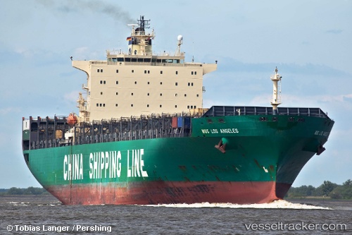
Vessel profile: GSL TEGEA is a Container Ship with dimensions m x m.
This page combines live AIS, route history, probable destination signals, nearby traffic, and port activity for practical vessel monitoring.
The current position of vessel GSL TEGEA is 25.76590 lat / -80.15113 lng. Updated: 2026-05-23 08:06:56 UTCNearest reference points:
- Near Fisher Island, Miami
- Near Miami Beach
- Near Miami
Currently sailing under the flag of Liberia ![]()
Details:
Live Vessel GSL TEGEA Analytics (details, animations, etc.)
Recent AIS points (UTC):
2026-05-23 04:18:56 UTC · 25.76600, -80.15107 · SOG 0 kn · COG 92°2026-05-23 06:24:57 UTC · 25.76604, -80.15113 · SOG 0 kn · COG 92°
2026-05-23 07:45:57 UTC · 25.76607, -80.15112 · SOG 0 kn · COG 92°
2026-05-23 08:06:56 UTC · 25.76590, -80.15113 · SOG 0 kn · COG 92°