 JAL KISAN
Current Status
Where is the vessel?
JAL KISAN is currently in 18 nm NW of Perim Island, based on AIS data received about 15h ago.
Latest AIS update:
Current position: 12.88895° N, 43.23473° E (18 nm NW of Perim Island)
Average speed (last 7 days): Loading…
Average speed (last 30 days): Loading…
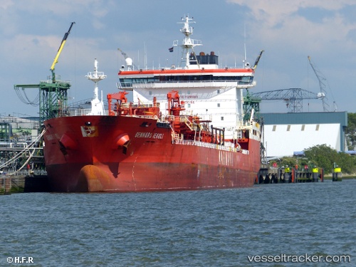
Vessel profile: JAL KISAN is a Chemical Tanker with dimensions m x m.
This page combines live AIS, route history, probable destination signals, nearby traffic, and port activity for practical vessel monitoring.
The current position of vessel JAL KISAN is 12.88895 lat / 43.23473 lng. Updated: 2026-05-20 22:45:39 UTCNearest reference points:
- Near Djibouti
Currently sailing under the flag of Liberia ![]()
Details:
Live Vessel JAL KISAN Analytics (details, animations, etc.)
Recent AIS points (UTC):
2026-05-20 19:22:28 UTC · 12.46220, 43.72443 · SOG 10.3 kn · COG 289°2026-05-20 19:34:39 UTC · 12.47525, 43.69073 · SOG 10.5 kn · COG 290°
2026-05-20 21:41:34 UTC · 12.67833, 43.33500 · SOG 13 kn · COG -1°
2026-05-20 22:45:39 UTC · 12.88895, 43.23473 · SOG 12.8 kn · COG 332°