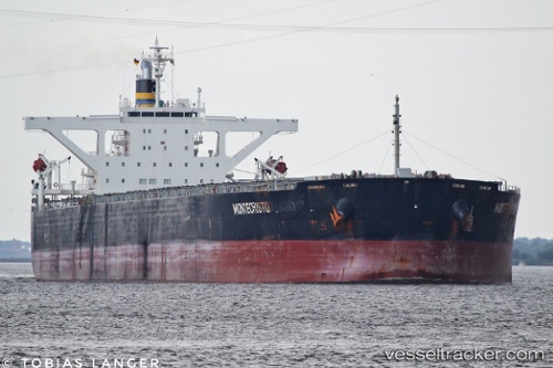
 MONTECRISTO
Current Status
Where is the vessel?
MONTECRISTO is currently in 72 nm SW of Saldanha Bay, based on AIS data received about 14h ago.
Latest AIS update:
Current position: 33.83512° S, 16.74028° E (72 nm SW of Saldanha Bay)
Average speed (last 7 days): Loading…
Average speed (last 30 days): Loading…
Vessel profile: MONTECRISTO is a Bulk Carrier with dimensions m x m.
This page combines live AIS, route history, probable destination signals, nearby traffic, and port activity for practical vessel monitoring.
The current position of vessel MONTECRISTO is -33.83512 lat / 16.74028 lng. Updated: 2026-05-20 08:07:08 UTCNearest reference points:
- 111 nm W of Kommetjie
- 116 nm SW of Saldanha Bay
- 12 nm W of ROBBEN ISLAND
Currently sailing under the flag of Liberia ![]()
Details:
Live Vessel MONTECRISTO Analytics (details, animations, etc.)
Recent AIS points (UTC):
2026-05-20 04:30:57 UTC · -34.01821, 16.89621 · SOG 0.7 kn · COG 130°2026-05-20 06:05:14 UTC · -34.00655, 16.88400 · SOG 5.7 kn · COG 28°
2026-05-20 07:41:50 UTC · -33.87013, 16.77796 · SOG 6.5 kn · COG 335°
2026-05-20 08:07:08 UTC · -33.83512, 16.74028 · SOG 6.6 kn · COG 344°