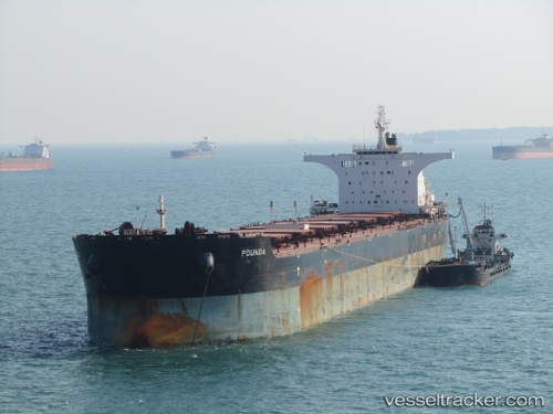
 POUNDA
Current Status
Where is the vessel?
POUNDA is currently in 21 nm SW of Biggar, based on AIS data received about 14d ago.
Latest AIS update:
Current position: 51.87461° N, 108.46868° W (21 nm SW of Biggar)
Average speed (last 7 days): Loading…
Average speed (last 30 days): Loading…
Vessel profile: POUNDA is a Bulk Carrier with dimensions 292m x 292m.
This page combines live AIS, route history, probable destination signals, nearby traffic, and port activity for practical vessel monitoring.
The current position of vessel POUNDA is 51.87461 lat / -108.46868 lng. Updated: 2026-05-07 16:13:10 UTCCurrently sailing under the flag of Liberia ![]()
POUNDA built in 2009 year
Deadweight:
177897 tDetails:
Live Vessel POUNDA Analytics (details, animations, etc.)
Recent AIS points (UTC):
2026-05-07 16:13:10 UTC · 51.87461, -108.46868 · SOG 7.8 kn · COG 102°2026-05-07 16:13:10 UTC · 51.87461, -108.46868 · SOG 7.8 kn · COG 102°
2026-05-07 16:13:10 UTC · 51.87461, -108.46868 · SOG 7.8 kn · COG 102°
2026-05-07 16:13:10 UTC · 51.87461, -108.46868 · SOG 7.8 kn · COG 102°
2026-05-07 16:13:10 UTC · 51.87461, -108.46868 · SOG 7.8 kn · COG 102°