 vesseltracker.com
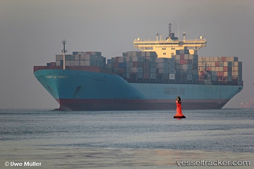
 MSC DENISSE X
Current Status
Where is the vessel?
MSC DENISSE X is currently in 43 nm E of Red Hill, based on AIS data received about 15h ago.
Latest AIS update:
Current position: 32.29539° S, 29.08643° E (43 nm E of Red Hill)
Average speed (last 7 days): Loading…
Average speed (last 30 days): Loading…
Vessel profile: MSC DENISSE X is a Container Ship with dimensions m x m.
This page combines live AIS, route history, probable destination signals, nearby traffic, and port activity for practical vessel monitoring.
The current position of vessel MSC DENISSE X is -32.29539 lat / 29.08643 lng. Updated: 2026-05-17 23:39:19 UTCNearest reference points:
- 23 nm E of Port Saint John's
- Near Island View
- Near Durban
Currently sailing under the flag of Liberia ![]()
Details:
Live Vessel MSC DENISSE X Analytics (details, animations, etc.)
Recent AIS points (UTC):
2026-05-17 19:32:13 UTC · -31.24480, 30.29476 · SOG 20.6 kn · COG 220°2026-05-17 21:55:19 UTC · -31.84905, 29.60296 · SOG 21 kn · COG 224°
2026-05-17 23:06:37 UTC · -32.15198, 29.25132 · SOG 21.9 kn · COG 224°
2026-05-17 23:39:19 UTC · -32.29539, 29.08643 · SOG 21.8 kn · COG 225°