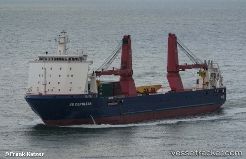
 CERULEAN
Current Status
Where is the vessel?
CERULEAN is currently in 44 nm S of Gombong, based on AIS data received about 14h ago.
Latest AIS update:
Current position: 6.51500° N, 107.86500° E (44 nm S of Gombong)
Average speed (last 7 days): Loading…
Average speed (last 30 days): Loading…
Vessel profile: CERULEAN is a General Cargo with dimensions m x m.
This page combines live AIS, route history, probable destination signals, nearby traffic, and port activity for practical vessel monitoring.
The current position of vessel CERULEAN is 6.51500 lat / 107.86500 lng. Updated: 2026-05-20 17:36:38 UTCNearest reference points:
- 11 nm N of Gombong
- 41 nm NW of Brebes
- 36 nm SW of Slipi
Currently sailing under the flag of Liberia ![]()
Details:
Live Vessel CERULEAN Analytics (details, animations, etc.)
Recent AIS points (UTC):
2026-05-20 14:18:39 UTC · 6.10667, 107.55167 · SOG 9 kn · COG -1°2026-05-20 15:57:37 UTC · 6.31000, 107.71000 · SOG 9 kn · COG -1°
2026-05-20 16:15:40 UTC · 6.34833, 107.73833 · SOG 9 kn · COG -1°
2026-05-20 17:36:38 UTC · 6.51500, 107.86500 · SOG 9 kn · COG -1°