 ELANDRA FIRTH
Current Status
Where is the vessel?
ELANDRA FIRTH is currently in Near Werribee South, based on AIS data received about 14h ago.
Latest AIS update:
Current position: 37.98187° S, 144.84604° E (Near Werribee South)
Average speed (last 7 days): Loading…
Average speed (last 30 days): Loading…
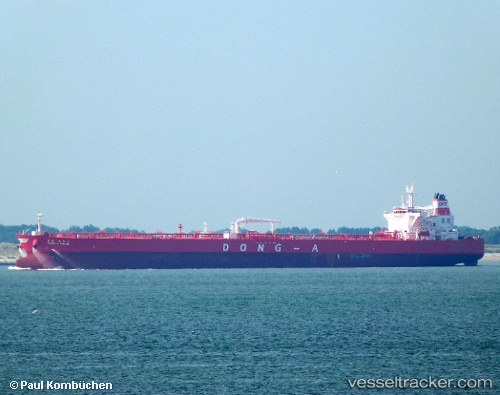
Vessel profile: ELANDRA FIRTH is a Tanker with dimensions m x m.
This page combines live AIS, route history, probable destination signals, nearby traffic, and port activity for practical vessel monitoring.
The current position of vessel ELANDRA FIRTH is -37.98187 lat / 144.84604 lng. Updated: 2026-05-23 07:09:40 UTCNearest reference points:
- Near Spotswood
- Near Drysdale
- Near QUEENSCLIFF
Currently sailing under the flag of Liberia ![]()
Details:
Live Vessel ELANDRA FIRTH Analytics (details, animations, etc.)
Recent AIS points (UTC):
2026-05-23 03:42:39 UTC · -37.98078, 144.84480 · SOG 0 kn · COG 72°2026-05-23 04:09:41 UTC · -37.98120, 144.84506 · SOG 0.1 kn · COG 56°
2026-05-23 06:30:40 UTC · -37.98210, 144.84708 · SOG 0.1 kn · COG 6°
2026-05-23 07:09:40 UTC · -37.98187, 144.84604 · SOG 0.1 kn · COG 30°