 WAN HAI 612
Current Status
Where is the vessel?
WAN HAI 612 is currently in 61 nm W of Negombo, based on AIS data received about 14h ago.
Latest AIS update:
Current position: 7.08046° N, 78.82290° E (61 nm W of Negombo)
Average speed (last 7 days): Loading…
Average speed (last 30 days): Loading…
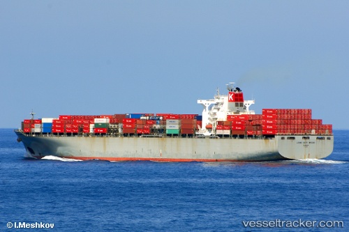
Vessel profile: WAN HAI 612 is a Container Ship with dimensions m x m.
This page combines live AIS, route history, probable destination signals, nearby traffic, and port activity for practical vessel monitoring.
The current position of vessel WAN HAI 612 is 7.08046 lat / 78.82290 lng. Updated: 2026-05-22 22:47:43 UTCNearest reference points:
- 90 nm W of Moratuwa
- 94 nm W of Dehiwala
- 67 nm SW of Moratuwa
Currently sailing under the flag of Liberia ![]()
Details:
Live Vessel WAN HAI 612 Analytics (details, animations, etc.)
Recent AIS points (UTC):
2026-05-22 19:22:47 UTC · 7.06233, 79.67853 · SOG 14.3 kn · COG 279°2026-05-22 19:51:07 UTC · 7.07908, 79.56763 · SOG 13.5 kn · COG 280°
2026-05-22 21:56:49 UTC · 7.06596, 79.03665 · SOG 15.4 kn · COG 271°
2026-05-22 22:47:43 UTC · 7.08046, 78.82290 · SOG 14.7 kn · COG 278°