 TB QUANZHOU
Current Status
Where is the vessel?
TB QUANZHOU is currently in 65 nm N of Annaba, based on AIS data received about 14h ago.
Latest AIS update:
Current position: 37.94450° N, 7.40961° E (65 nm N of Annaba)
Average speed (last 7 days): Loading…
Average speed (last 30 days): Loading…
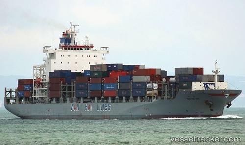
Vessel profile: TB QUANZHOU is a Cargo with dimensions m x m.
This page combines live AIS, route history, probable destination signals, nearby traffic, and port activity for practical vessel monitoring.
The current position of vessel TB QUANZHOU is 37.94450 lat / 7.40961 lng. Updated: 2026-05-22 02:09:59 UTCNearest reference points:
- Near Annaba
- Near Skikid
- Near CARLOFORTE
Currently sailing under the flag of Liberia ![]()
Details:
Live Vessel TB QUANZHOU Analytics (details, animations, etc.)
Recent AIS points (UTC):
2026-05-21 21:55:11 UTC · 37.88056, 6.04920 · SOG 15.3 kn · COG 89°2026-05-21 22:11:00 UTC · 37.88373, 6.13362 · SOG 15.2 kn · COG 89°
2026-05-22 01:27:35 UTC · 37.92960, 7.17420 · SOG 15.6 kn · COG 86°
2026-05-22 02:09:59 UTC · 37.94450, 7.40961 · SOG 16.1 kn · COG 87°