 DYLAN
DYLAN
Current Status
Where is the vessel?
DYLAN is currently in Near Tuticorin, based on AIS data received about 14h ago.
Latest AIS update:
Current position: 8.73102° N, 78.27630° E (Near Tuticorin)
Average speed (last 7 days): Loading…
Average speed (last 30 days): Loading…
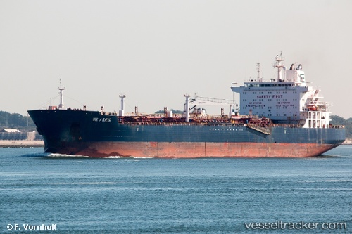
Vessel profile: DYLAN is a Oil/Chemical Tanker with dimensions m x m.
This page combines live AIS, route history, probable destination signals, nearby traffic, and port activity for practical vessel monitoring.
The current position of vessel DYLAN is 8.73102 lat / 78.27630 lng. Updated: 2026-05-21 16:36:56 UTCNearest reference points:
- 41 nm S of Nagercoil
- 94 nm W of Dehiwala
- 90 nm W of Moratuwa
Currently sailing under the flag of Liberia ![]()
Details:
Live Vessel DYLAN Analytics (details, animations, etc.)
Recent AIS points (UTC):
2026-05-21 13:12:56 UTC · 8.73111, 78.27609 · SOG 0.1 kn · COG 193°2026-05-21 14:18:56 UTC · 8.73109, 78.27608 · SOG 0.1 kn · COG 195°
2026-05-21 15:27:56 UTC · 8.73101, 78.27632 · SOG 0.2 kn · COG 201°
2026-05-21 16:36:56 UTC · 8.73102, 78.27630 · SOG 0.1 kn · COG 202°