 vesseltracker.com
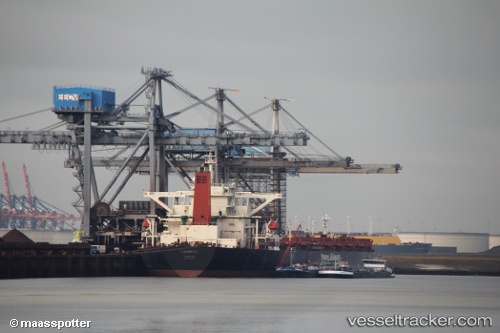
 AN LI
AN LI
Current Status
Where is the vessel?
AN LI is currently in 107 nm SE of Nudao, based on AIS data received about 14h ago.
Latest AIS update:
Current position: 34.92683° N, 122.12993° E (107 nm SE of Nudao)
Average speed (last 7 days): Loading…
Average speed (last 30 days): Loading…
Vessel profile: AN LI is a Bulk Carrier with dimensions m x m.
This page combines live AIS, route history, probable destination signals, nearby traffic, and port activity for practical vessel monitoring.
The current position of vessel AN LI is 34.92683 lat / 122.12993 lng. Updated: 2026-05-18 09:53:34 UTCNearest reference points:
- 93 nm SE of Nudao
- 116 nm NE of DAFENG
- 85 nm NE of Sanya Pt
Currently sailing under the flag of Liberia ![]()
Details:
Live Vessel AN LI Analytics (details, animations, etc.)
Recent AIS points (UTC):
2026-05-18 05:31:44 UTC · 35.06168, 121.11942 · SOG 11 kn · COG 106°2026-05-18 07:18:56 UTC · 35.00498, 121.52920 · SOG 11.3 kn · COG 110°
2026-05-18 07:45:54 UTC · 34.98800, 121.63075 · SOG 11.3 kn · COG 105°
2026-05-18 09:53:34 UTC · 34.92683, 122.12993 · SOG 11.8 kn · COG -1°