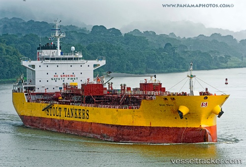
 BRAVE OCEAN
Current Status
Where is the vessel?
BRAVE OCEAN is currently in 99 nm W of Sanyang, based on AIS data received about 15h ago.
Latest AIS update:
Current position: 13.29833° N, 18.44167° W (99 nm W of Sanyang)
Average speed (last 7 days): Loading…
Average speed (last 30 days): Loading…
Vessel profile: BRAVE OCEAN is a Oil/Chemical Tanker with dimensions m x m.
This page combines live AIS, route history, probable destination signals, nearby traffic, and port activity for practical vessel monitoring.
The current position of vessel BRAVE OCEAN is 13.29833 lat / -18.44167 lng. Updated: 2026-05-19 07:49:20 UTCNearest reference points:
- 48 nm W of Cap Skiring
- Near Dakar
- Near Rufisque
Currently sailing under the flag of Liberia ![]()
Details:
Live Vessel BRAVE OCEAN Analytics (details, animations, etc.)
Recent AIS points (UTC):
2026-05-19 04:58:51 UTC · 13.31108, -18.44706 · SOG 0.3 kn · COG 78°2026-05-19 05:46:54 UTC · 13.30813, -18.44438 · SOG 0.5 kn · COG 70°
2026-05-19 07:19:53 UTC · 13.30136, -18.44296 · SOG 0.5 kn · COG 85°
2026-05-19 07:49:20 UTC · 13.29833, -18.44167 · SOG 0 kn · COG -1°