 ICONSHIP
Current Status
Where is the vessel?
ICONSHIP is currently in 80 nm N of Lae, based on AIS data received about 14h ago.
Latest AIS update:
Current position: 5.48181° S, 147.45610° E (80 nm N of Lae)
Average speed (last 7 days): Loading…
Average speed (last 30 days): Loading…
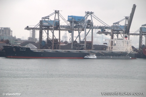
Vessel profile: ICONSHIP is a Bulker with dimensions m x m.
This page combines live AIS, route history, probable destination signals, nearby traffic, and port activity for practical vessel monitoring.
The current position of vessel ICONSHIP is -5.48181 lat / 147.45610 lng. Updated: 2026-05-21 21:25:25 UTCNearest reference points:
- Near Lae
- 42 nm E of Tami Island
Currently sailing under the flag of Liberia ![]()
Details:
Live Vessel ICONSHIP Analytics (details, animations, etc.)
Recent AIS points (UTC):
2026-05-21 17:29:35 UTC · -6.13159, 147.97342 · SOG 12.5 kn · COG 304°2026-05-21 19:39:23 UTC · -5.80508, 147.63445 · SOG 13.5 kn · COG 333°
2026-05-21 19:44:55 UTC · -5.78716, 147.62415 · SOG 13.4 kn · COG 333°
2026-05-21 21:25:25 UTC · -5.48181, 147.45610 · SOG 11.5 kn · COG 331°