 OCEAN CAPELLA
Current Status
Where is the vessel?
OCEAN CAPELLA is currently in 59 nm E of Wolfsberg im Schwarzautal, based on AIS data received about 15h ago.
Latest AIS update:
Current position: 49.46269° N, 158.50243° E (59 nm E of Wolfsberg im Schwarzautal)
Average speed (last 7 days): Loading…
Average speed (last 30 days): Loading…
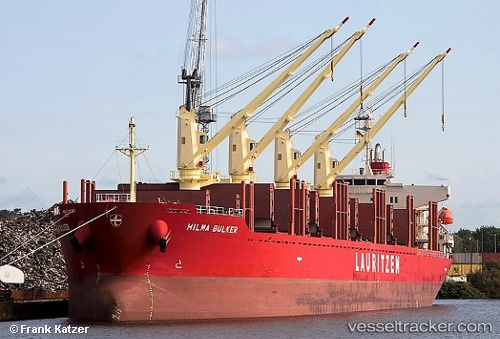
Vessel profile: OCEAN CAPELLA is a Cargo with dimensions m x m.
This page combines live AIS, route history, probable destination signals, nearby traffic, and port activity for practical vessel monitoring.
The current position of vessel OCEAN CAPELLA is 49.46269 lat / 158.50243 lng. Updated: 2026-05-23 01:45:45 UTCNearest reference points:
- 31 nm E of Severo-Kurilsk
- Near Severo-Kurilsk
- 13 nm SW of Ozernovskiy
Currently sailing under the flag of Liberia ![]()
Details:
Live Vessel OCEAN CAPELLA Analytics (details, animations, etc.)
Recent AIS points (UTC):
2026-05-22 22:51:44 UTC · 49.73667, 159.18167 · SOG 11 kn · COG -1°2026-05-22 23:39:57 UTC · 49.66508, 158.98712 · SOG 10.7 kn · COG 239°
2026-05-23 01:42:47 UTC · 49.46667, 158.51334 · SOG 10 kn · COG -1°
2026-05-23 01:45:45 UTC · 49.46269, 158.50243 · SOG 10.5 kn · COG 235°