 MY DREAM
Current Status
Where is the vessel?
MY DREAM is currently in 104 nm E of Kilifi, based on AIS data received about 14h ago.
Latest AIS update:
Current position: 3.93417° S, 41.55707° E (104 nm E of Kilifi)
Average speed (last 7 days): Loading…
Average speed (last 30 days): Loading…
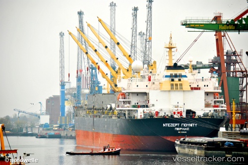
Vessel profile: MY DREAM is a Bulk Carrier with dimensions m x m.
This page combines live AIS, route history, probable destination signals, nearby traffic, and port activity for practical vessel monitoring.
The current position of vessel MY DREAM is -3.93417 lat / 41.55707 lng. Updated: 2026-05-22 07:49:40 UTCNearest reference points:
- 11 nm SE of Mombasa
- Near Mombasa
Currently sailing under the flag of Liberia ![]()
Details:
Live Vessel MY DREAM Analytics (details, animations, etc.)
Recent AIS points (UTC):
2026-05-22 04:34:02 UTC · -3.65621, 41.25401 · SOG 9.3 kn · COG 138°2026-05-22 05:52:46 UTC · -3.79088, 41.40957 · SOG 9.4 kn · COG 134°
2026-05-22 07:37:01 UTC · -3.91185, 41.53276 · SOG 9.3 kn · COG 129°
2026-05-22 07:49:40 UTC · -3.93417, 41.55707 · SOG 9.4 kn · COG 130°