 CHASE OCEAN
Current Status
Where is the vessel?
CHASE OCEAN is currently in 42 nm E of Pampa Melchorita, based on AIS data received about 14h ago.
Latest AIS update:
Current position: 13.43344° S, 77.07534° W (42 nm E of Pampa Melchorita)
Average speed (last 7 days): Loading…
Average speed (last 30 days): Loading…
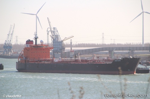
Vessel profile: CHASE OCEAN is a Oil/Chemical Tanker with dimensions m x m.
This page combines live AIS, route history, probable destination signals, nearby traffic, and port activity for practical vessel monitoring.
The current position of vessel CHASE OCEAN is -13.43344 lat / -77.07534 lng. Updated: 2026-05-19 20:23:13 UTCNearest reference points:
- Near Callao
- 43 nm SW of Barranca
- 125 nm SW of Supe Bay
Currently sailing under the flag of Liberia ![]()
Details:
Live Vessel CHASE OCEAN Analytics (details, animations, etc.)
Recent AIS points (UTC):
2026-05-19 16:09:43 UTC · -14.20081, -76.55253 · SOG 13 kn · COG 331°2026-05-19 17:36:31 UTC · -13.94968, -76.76256 · SOG 13.2 kn · COG 325°
2026-05-19 19:55:49 UTC · -13.50884, -77.01208 · SOG 12.7 kn · COG 321°
2026-05-19 20:23:13 UTC · -13.43344, -77.07534 · SOG 12.8 kn · COG 325°