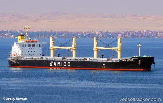
 MEDI CABOTO
Current Status
Where is the vessel?
MEDI CABOTO is currently in 362 nm SE of Rupert's Bay, based on AIS data received about 14h ago.
Latest AIS update:
Current position: 19.31865° S, 0.46788° W (362 nm SE of Rupert's Bay)
Average speed (last 7 days): Loading…
Average speed (last 30 days): Loading…
Vessel profile: MEDI CABOTO is a Cargo with dimensions m x m.
This page combines live AIS, route history, probable destination signals, nearby traffic, and port activity for practical vessel monitoring.
The current position of vessel MEDI CABOTO is -19.31865 lat / -0.46788 lng. Updated: 2026-05-19 01:29:39 UTCNearest reference points:
- Open sea, approx. 401 nm off the nearest listed port
- Open sea, approx. 402 nm off the nearest listed port
- Open sea, approx. 408 nm off the nearest listed port
Currently sailing under the flag of Liberia ![]()
Details:
Live Vessel MEDI CABOTO Analytics (details, animations, etc.)
Recent AIS points (UTC):
2026-05-18 23:07:00 UTC · -19.65442, -0.16383 · SOG 11.1 kn · COG 317°2026-05-18 23:53:18 UTC · -19.54434, -0.26051 · SOG 11.3 kn · COG 324°
2026-05-19 01:27:38 UTC · -19.32315, -0.46328 · SOG 11.2 kn · COG 318°
2026-05-19 01:29:39 UTC · -19.31865, -0.46788 · SOG 11.2 kn · COG 317°