 SANTA MARTA EXPRESS
Current Status
Where is the vessel?
SANTA MARTA EXPRESS is currently in Near HOOKSIEL, based on AIS data received about 14h ago.
Latest AIS update:
Current position: 53.59362° N, 8.15286° E (Near HOOKSIEL)
Average speed (last 7 days): Loading…
Average speed (last 30 days): Loading…
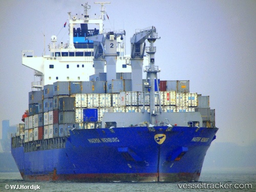
Vessel profile: SANTA MARTA EXPRESS is a Container Ship with dimensions m x m.
This page combines live AIS, route history, probable destination signals, nearby traffic, and port activity for practical vessel monitoring.
The current position of vessel SANTA MARTA EXPRESS is 53.59362 lat / 8.15286 lng. Updated: 2026-05-23 05:21:03 UTCNearest reference points:
- Near Wilhelmshaven
- Near HOOKSIEL
- Near Horumersiel
Currently sailing under the flag of Liberia ![]()
Details:
Live Vessel SANTA MARTA EXPRESS Analytics (details, animations, etc.)
Recent AIS points (UTC):
2026-05-23 01:54:02 UTC · 53.59365, 8.15287 · SOG 0.1 kn · COG 347°2026-05-23 04:08:48 UTC · 53.59362, 8.15282 · SOG 0 kn · COG 347°
2026-05-23 04:21:03 UTC · 53.59366, 8.15283 · SOG 0 kn · COG 347°
2026-05-23 05:21:03 UTC · 53.59362, 8.15286 · SOG 0 kn · COG 347°