 vesseltracker.com
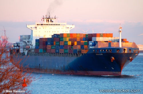
 MSC KERRY VII
Current Status
Where is the vessel?
MSC KERRY VII is currently in 179 nm SE of Honghai, based on AIS data received about 14h ago.
Latest AIS update:
Current position: 18.01489° N, 113.64353° E (179 nm SE of Honghai)
Average speed (last 7 days): Loading…
Average speed (last 30 days): Loading…
Vessel profile: MSC KERRY VII is a Container Ship with dimensions m x m.
This page combines live AIS, route history, probable destination signals, nearby traffic, and port activity for practical vessel monitoring.
The current position of vessel MSC KERRY VII is 18.01489 lat / 113.64353 lng. Updated: 2026-05-18 14:19:58 UTCNearest reference points:
- 123 nm S of Shadi
- 157 nm SE of Xincun
- 78 nm SW of Xijiang
Currently sailing under the flag of Liberia ![]()
Details:
Live Vessel MSC KERRY VII Analytics (details, animations, etc.)
Recent AIS points (UTC):
2026-05-18 10:23:28 UTC · 16.87113, 113.48681 · SOG 17.6 kn · COG 2°2026-05-18 11:29:46 UTC · 17.19625, 113.52207 · SOG 17.4 kn · COG 7°
2026-05-18 13:23:58 UTC · 17.74278, 113.61225 · SOG 17.6 kn · COG 7°
2026-05-18 14:19:58 UTC · 18.01489, 113.64353 · SOG 17.5 kn · COG 4°