 TITANSHIP
Current Status
Where is the vessel?
TITANSHIP is currently in 51 nm SE of DONGJIAKOU, based on AIS data received about 14h ago.
Latest AIS update:
Current position: 35.00957° N, 120.54909° E (51 nm SE of DONGJIAKOU)
Average speed (last 7 days): Loading…
Average speed (last 30 days): Loading…
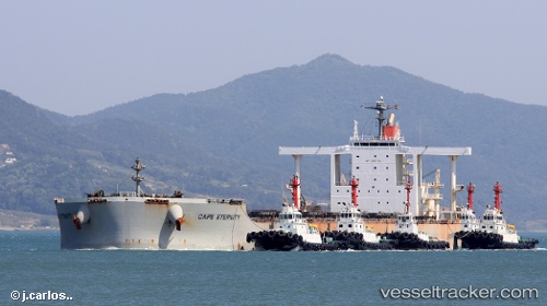
Vessel profile: TITANSHIP is a Bulk Carrier with dimensions m x m.
This page combines live AIS, route history, probable destination signals, nearby traffic, and port activity for practical vessel monitoring.
The current position of vessel TITANSHIP is 35.00957 lat / 120.54909 lng. Updated: 2026-05-23 06:00:32 UTCNearest reference points:
- 43 nm SE of DONGJIAKOU
- 41 nm NE of CHENJIAGANG
- 59 nm NE of CHENJIAGANG
Currently sailing under the flag of Liberia ![]()
Details:
Live Vessel TITANSHIP Analytics (details, animations, etc.)
Recent AIS points (UTC):
2026-05-23 03:32:44 UTC · 35.03122, 119.95334 · SOG 11 kn · COG 87°2026-05-23 04:24:26 UTC · 35.02214, 120.16262 · SOG 12 kn · COG 87°
2026-05-23 04:42:12 UTC · 35.02333, 120.23500 · SOG 12 kn · COG -1°
2026-05-23 06:00:32 UTC · 35.00957, 120.54909 · SOG 12.8 kn · COG -1°