 DORIS OCEAN
Current Status
Where is the vessel?
DORIS OCEAN is currently in 340 nm S of Achau, based on AIS data received about 14h ago.
Latest AIS update:
Current position: 43.25799° N, 160.09171° W (340 nm S of Achau)
Average speed (last 7 days): Loading…
Average speed (last 30 days): Loading…
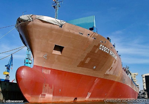
Vessel profile: DORIS OCEAN is a Container Ship with dimensions m x m.
This page combines live AIS, route history, probable destination signals, nearby traffic, and port activity for practical vessel monitoring.
The current position of vessel DORIS OCEAN is 43.25799 lat / -160.09171 lng. Updated: 2026-05-22 19:57:08 UTCNearest reference points:
- Open sea, approx. 402 nm off the nearest listed port
- Open sea, approx. 401 nm off the nearest listed port
- Open sea, approx. 403 nm off the nearest listed port
Currently sailing under the flag of Liberia ![]()
Details:
Live Vessel DORIS OCEAN Analytics (details, animations, etc.)
Recent AIS points (UTC):
2026-05-22 16:12:37 UTC · 43.38548, -161.66228 · SOG 18.4 kn · COG 96°2026-05-22 16:39:00 UTC · 43.36971, -161.48077 · SOG 18.1 kn · COG 95°
2026-05-22 17:46:05 UTC · 43.32971, -161.01814 · SOG 18.7 kn · COG 95°
2026-05-22 19:57:08 UTC · 43.25799, -160.09171 · SOG 18.8 kn · COG 96°