 MSC ELBA III
Current Status
Where is the vessel?
MSC ELBA III is currently in 52 nm E of Ruby, based on AIS data received about 15h ago.
Latest AIS update:
Current position: 10.28833° N, 109.37500° E (52 nm E of Ruby)
Average speed (last 7 days): Loading…
Average speed (last 30 days): Loading…
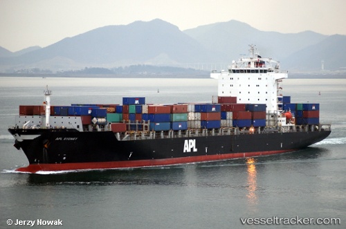
Vessel profile: MSC ELBA III is a Container Ship with dimensions m x m.
This page combines live AIS, route history, probable destination signals, nearby traffic, and port activity for practical vessel monitoring.
The current position of vessel MSC ELBA III is 10.28833 lat / 109.37500 lng. Updated: 2026-05-20 00:03:02 UTCNearest reference points:
- Near Rang Dong
- Near Vinh Cam Ranh
- 30 nm NW of Bach Ho
Currently sailing under the flag of Liberia ![]()
Details:
Live Vessel MSC ELBA III Analytics (details, animations, etc.)
Recent AIS points (UTC):
2026-05-19 20:12:44 UTC · 11.36034, 109.67583 · SOG 16.2 kn · COG -1°2026-05-19 21:23:00 UTC · 11.04521, 109.58166 · SOG 17 kn · COG -1°
2026-05-19 23:06:30 UTC · 10.55342, 109.46045 · SOG 17.6 kn · COG 201°
2026-05-20 00:03:02 UTC · 10.28833, 109.37500 · SOG 17 kn · COG -1°