 LACERTA
Current Status
Where is the vessel?
LACERTA is currently in 45 nm N of Mostaganem, based on AIS data received about 14h ago.
Latest AIS update:
Current position: 36.67747° N, 0.01360° W (45 nm N of Mostaganem)
Average speed (last 7 days): Loading…
Average speed (last 30 days): Loading…
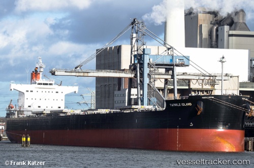
Vessel profile: LACERTA is a Bulk Carrier with dimensions m x m.
This page combines live AIS, route history, probable destination signals, nearby traffic, and port activity for practical vessel monitoring.
The current position of vessel LACERTA is 36.67747 lat / -0.01360 lng. Updated: 2026-05-22 01:22:52 UTCNearest reference points:
- 50 nm N of Mostaganem
- 43 nm NW of Mostaganem
- 49 nm S of Rejected
Currently sailing under the flag of Liberia ![]()
Details:
Live Vessel LACERTA Analytics (details, animations, etc.)
Recent AIS points (UTC):
2026-05-21 19:57:14 UTC · 36.49693, -1.24832 · SOG 11 kn · COG 81°2026-05-21 22:08:32 UTC · 36.56864, -0.74737 · SOG 11 kn · COG 79°
2026-05-21 22:24:23 UTC · 36.57705, -0.68747 · SOG 11.1 kn · COG 78°
2026-05-22 01:22:52 UTC · 36.67747, -0.01360 · SOG 11.6 kn · COG 79°