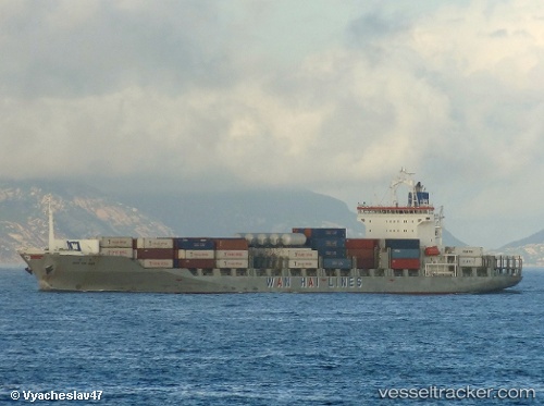
 MSC OCEAN II
Current Status
Where is the vessel?
MSC OCEAN II is currently in 29 nm SW of Kuala Selangor, based on AIS data received about 16h ago.
Latest AIS update:
Current position: 3.00740° N, 100.70193° E (29 nm SW of Kuala Selangor)
Average speed (last 7 days): Loading…
Average speed (last 30 days): Loading…
Vessel profile: MSC OCEAN II is a Container Ship with dimensions m x m.
This page combines live AIS, route history, probable destination signals, nearby traffic, and port activity for practical vessel monitoring.
The current position of vessel MSC OCEAN II is 3.00740 lat / 100.70193 lng. Updated: 2026-05-21 19:27:02 UTCNearest reference points:
- 21 nm SW of Pulau Indah
- Near Westport/Port Klang
- Near Pulau Indah
Currently sailing under the flag of Liberia ![]()
Details:
Live Vessel MSC OCEAN II Analytics (details, animations, etc.)
Recent AIS points (UTC):
2026-05-21 16:06:14 UTC · 3.40326, 100.00088 · SOG 14.2 kn · COG 121°2026-05-21 17:47:20 UTC · 3.21385, 100.35512 · SOG 14.5 kn · COG 117°
2026-05-21 19:24:56 UTC · 3.01167, 100.69442 · SOG 14.7 kn · COG 119°
2026-05-21 19:27:02 UTC · 3.00740, 100.70193 · SOG 14.8 kn · COG 120°