 EMERALD TOWER
Current Status
Where is the vessel?
EMERALD TOWER is currently in Near PASIR PANJANG Terminal, based on AIS data received about 14h ago.
Latest AIS update:
Current position: 1.27438° N, 103.75973° E (Near PASIR PANJANG Terminal)
Average speed (last 7 days): Loading…
Average speed (last 30 days): Loading…
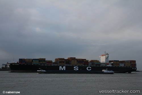
Vessel profile: EMERALD TOWER is a Container Ship with dimensions m x m.
This page combines live AIS, route history, probable destination signals, nearby traffic, and port activity for practical vessel monitoring.
The current position of vessel EMERALD TOWER is 1.27438 lat / 103.75973 lng. Updated: 2026-05-22 23:56:10 UTCNearest reference points:
- Near Pasir Panjang Wharves
- Near PASIR PANJANG Terminal
- Near BUKOM ISLAND
Currently sailing under the flag of Liberia ![]()
Details:
Live Vessel EMERALD TOWER Analytics (details, animations, etc.)
Recent AIS points (UTC):
2026-05-22 19:35:07 UTC · 1.27439, 103.75978 · SOG 0 kn · COG 300°2026-05-22 21:23:08 UTC · 1.27435, 103.75997 · SOG 0 kn · COG 300°
2026-05-22 22:05:08 UTC · 1.27439, 103.75982 · SOG 0 kn · COG 300°
2026-05-22 23:56:10 UTC · 1.27438, 103.75973 · SOG 0 kn · COG 300°