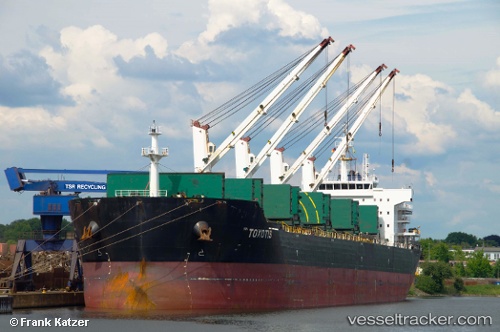
 TOXOTIS
Current Status
Where is the vessel?
TOXOTIS is currently in 51 nm S of San Agustin, based on AIS data received about 14h ago.
Latest AIS update:
Current position: 26.98167° N, 16.82333° W (51 nm S of San Agustin)
Average speed (last 7 days): Loading…
Average speed (last 30 days): Loading…
Vessel profile: TOXOTIS is a Bulk Carrier with dimensions m x m.
This page combines live AIS, route history, probable destination signals, nearby traffic, and port activity for practical vessel monitoring.
The current position of vessel TOXOTIS is 26.98167 lat / -16.82333 lng. Updated: 2026-05-22 03:59:02 UTCNearest reference points:
- 22 nm S of San Agustin
- 33 nm SE of San Agustin
- Near Las Galletas
Currently sailing under the flag of Liberia ![]()
Details:
Live Vessel TOXOTIS Analytics (details, animations, etc.)
Recent AIS points (UTC):
2026-05-21 22:24:50 UTC · 28.00521, -16.32421 · SOG 12 kn · COG 205°2026-05-22 01:14:03 UTC · 27.47833, -16.58833 · SOG 12 kn · COG -1°
2026-05-22 02:32:05 UTC · 27.24167, -16.69500 · SOG 11 kn · COG -1°
2026-05-22 03:59:02 UTC · 26.98167, -16.82333 · SOG 11 kn · COG -1°