 AL WATAN
Current Status
Where is the vessel?
AL WATAN is currently in Near Rozi, based on AIS data received about 14h ago.
Latest AIS update:
Current position: 22.70674° N, 69.95870° E (Near Rozi)
Average speed (last 7 days): Loading…
Average speed (last 30 days): Loading…
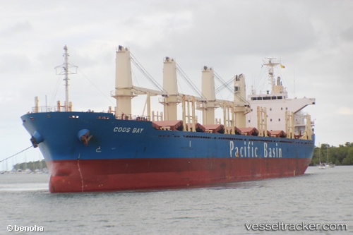
Vessel profile: AL WATAN is a Bulk Carrier with dimensions m x m.
This page combines live AIS, route history, probable destination signals, nearby traffic, and port activity for practical vessel monitoring.
The current position of vessel AL WATAN is 22.70674 lat / 69.95870 lng. Updated: 2026-05-19 00:00:53 UTCNearest reference points:
- 12 nm N of Rozi
- 15 nm N of Rozi
- Near Rozi
Currently sailing under the flag of Liberia ![]()
Details:
Live Vessel AL WATAN Analytics (details, animations, etc.)
Recent AIS points (UTC):
2026-05-18 20:10:55 UTC · 22.69344, 69.94141 · SOG 6.9 kn · COG 54°2026-05-18 21:48:42 UTC · 22.70667, 69.96000 · SOG 0 kn · COG -1°
2026-05-18 22:03:36 UTC · 22.70667, 69.96000 · SOG 0 kn · COG -1°
2026-05-19 00:00:53 UTC · 22.70674, 69.95870 · SOG 0.3 kn · COG 356°