 ACME
ACME
Current Status
Where is the vessel?
ACME is currently in 16 nm SE of Mar Del Plata, based on AIS data received about 15h ago.
Latest AIS update:
Current position: 38.28045° S, 57.37343° W (16 nm SE of Mar Del Plata)
Average speed (last 7 days): Loading…
Average speed (last 30 days): Loading…
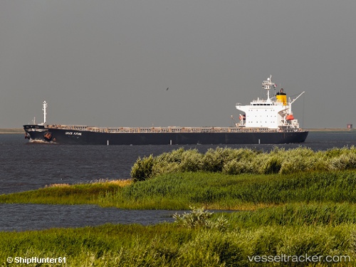
Vessel profile: ACME is a Bulk Carrier with dimensions m x m.
This page combines live AIS, route history, probable destination signals, nearby traffic, and port activity for practical vessel monitoring.
The current position of vessel ACME is -38.28045 lat / -57.37343 lng. Updated: 2026-05-20 07:26:41 UTCNearest reference points:
- Near Mar Del Plata
- Near NECOCHEA
- 91 nm SE of Punta Medanos
Currently sailing under the flag of Liberia ![]()
Details:
Live Vessel ACME Analytics (details, animations, etc.)
Recent AIS points (UTC):
2026-05-20 05:05:48 UTC · -38.03638, -57.05777 · SOG 8.9 kn · COG 218°2026-05-20 06:09:30 UTC · -38.15335, -57.18690 · SOG 8.8 kn · COG 218°
2026-05-20 07:15:10 UTC · -38.26612, -57.33818 · SOG 9.6 kn · COG 237°
2026-05-20 07:26:41 UTC · -38.28045, -57.37343 · SOG 9.8 kn · COG 240°