 ANGELS SPIRIT
Current Status
Where is the vessel?
ANGELS SPIRIT is currently in 66 nm NE of PENGERANG, based on AIS data received about 15h ago.
Latest AIS update:
Current position: 2.02027° N, 105.02075° E (66 nm NE of PENGERANG)
Average speed (last 7 days): Loading…
Average speed (last 30 days): Loading…
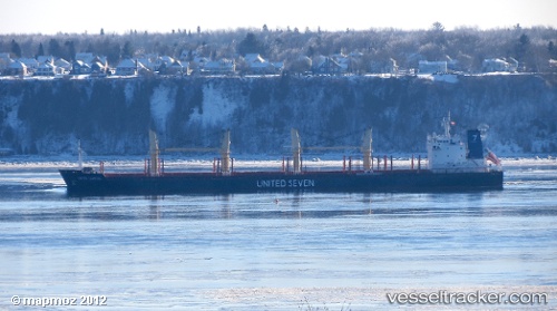
Vessel profile: ANGELS SPIRIT is a Bulk Carrier with dimensions m x m.
This page combines live AIS, route history, probable destination signals, nearby traffic, and port activity for practical vessel monitoring.
The current position of vessel ANGELS SPIRIT is 2.02027 lat / 105.02075 lng. Updated: 2026-05-21 23:10:52 UTCNearest reference points:
- 55 nm NE of PENGERANG
- 53 nm NE of PENGERANG
- 64 nm NE of PENGERANG
Currently sailing under the flag of Liberia ![]()
Details:
Live Vessel ANGELS SPIRIT Analytics (details, animations, etc.)
Recent AIS points (UTC):
2026-05-21 19:22:53 UTC · 2.01975, 105.02142 · SOG 0 kn · COG 208°2026-05-21 19:25:55 UTC · 2.01979, 105.02142 · SOG 0 kn · COG 206°
2026-05-21 21:46:57 UTC · 2.02005, 105.02098 · SOG 0.2 kn · COG 200°
2026-05-21 23:10:52 UTC · 2.02027, 105.02075 · SOG 0.1 kn · COG 189°