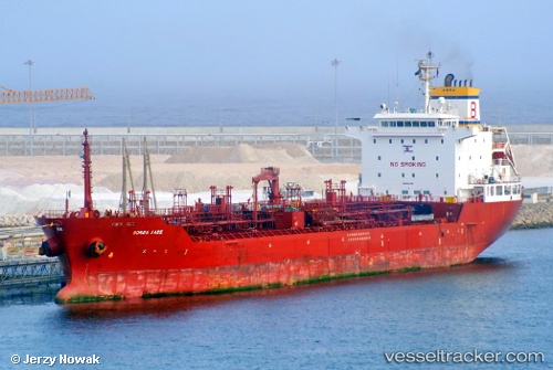
 TIMA ANTONIA
Current Status
Where is the vessel?
TIMA ANTONIA is currently in 11 nm S of Conakry Eco, based on AIS data received about 14h ago.
Latest AIS update:
Current position: 9.31970° N, 13.67693° W (11 nm S of Conakry Eco)
Average speed (last 7 days): Loading…
Average speed (last 30 days): Loading…
Vessel profile: TIMA ANTONIA is a Oil/Chemical Tanker with dimensions m x m.
This page combines live AIS, route history, probable destination signals, nearby traffic, and port activity for practical vessel monitoring.
The current position of vessel TIMA ANTONIA is 9.31970 lat / -13.67693 lng. Updated: 2026-05-22 19:06:16 UTCNearest reference points:
- Near Conakry
- 28 nm S of Conakry
- Near NASSIT
Currently sailing under the flag of Liberia ![]()
Details:
Live Vessel TIMA ANTONIA Analytics (details, animations, etc.)
Recent AIS points (UTC):
2026-05-22 16:15:20 UTC · 9.31835, -13.67718 · SOG 0.1 kn · COG 310°2026-05-22 16:30:16 UTC · 9.31875, -13.67698 · SOG 0 kn · COG 288°
2026-05-22 17:51:17 UTC · 9.31925, -13.67687 · SOG 0.1 kn · COG 271°
2026-05-22 19:06:16 UTC · 9.31970, -13.67693 · SOG 0.1 kn · COG 249°