 BAI GUAN
Current Status
Where is the vessel?
BAI GUAN is currently in 350 nm N of Cap Malheureux, based on AIS data received about 16h ago.
Latest AIS update:
Current position: 14.52620° S, 59.75250° E (350 nm N of Cap Malheureux)
Average speed (last 7 days): Loading…
Average speed (last 30 days): Loading…
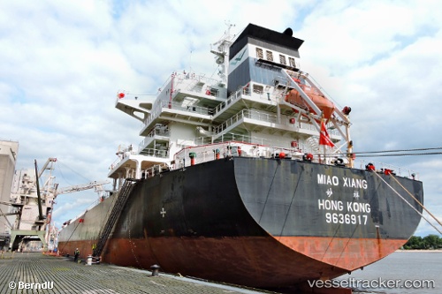
Vessel profile: BAI GUAN is a Bulk Carrier with dimensions m x m.
This page combines live AIS, route history, probable destination signals, nearby traffic, and port activity for practical vessel monitoring.
The current position of vessel BAI GUAN is -14.52620 lat / 59.75250 lng. Updated: 2026-05-23 01:42:14 UTCNearest reference points:
- 391 nm N of Cap Malheureux
- Open sea, approx. 400 nm off the nearest listed port
- Open sea, approx. 401 nm off the nearest listed port
Currently sailing under the flag of Liberia ![]()
Details:
Live Vessel BAI GUAN Analytics (details, animations, etc.)
Recent AIS points (UTC):
2026-05-22 22:44:23 UTC · -14.12853, 60.20681 · SOG 11.8 kn · COG 226°2026-05-23 00:17:13 UTC · -14.33622, 59.97073 · SOG 12.1 kn · COG 226°
2026-05-23 01:26:34 UTC · -14.49078, 59.79206 · SOG 11.9 kn · COG 225°
2026-05-23 01:42:14 UTC · -14.52620, 59.75250 · SOG 12 kn · COG 225°