 TANZANIA PROSPERITY
Current Status
Where is the vessel?
TANZANIA PROSPERITY is currently in 26 nm SE of Offshore Fujairah, based on AIS data received about 16h ago.
Latest AIS update:
Current position: 25.03371° N, 57.07144° E (26 nm SE of Offshore Fujairah)
Average speed (last 7 days): Loading…
Average speed (last 30 days): Loading…
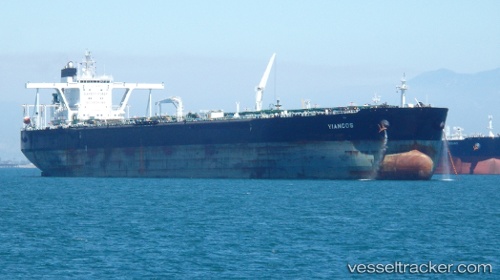
Vessel profile: TANZANIA PROSPERITY is a Crude Oil Tanker with dimensions m x m.
This page combines live AIS, route history, probable destination signals, nearby traffic, and port activity for practical vessel monitoring.
The current position of vessel TANZANIA PROSPERITY is 25.03371 lat / 57.07144 lng. Updated: 2026-05-22 15:06:50 UTCNearest reference points:
- 42 nm SE of Offshore Fujairah
- Near Offshore Fujairah
- 18 nm SE of SHINAS
Currently sailing under the flag of Liberia ![]()
Details:
Live Vessel TANZANIA PROSPERITY Analytics (details, animations, etc.)
Recent AIS points (UTC):
2026-05-22 15:06:50 UTC · 25.03371, 57.07144 · SOG 0.8 kn · COG -1°2026-05-22 15:06:50 UTC · 25.03371, 57.07144 · SOG 0.8 kn · COG -1°
2026-05-22 15:06:50 UTC · 25.03371, 57.07144 · SOG 0.8 kn · COG -1°
2026-05-22 15:06:50 UTC · 25.03371, 57.07144 · SOG 0.8 kn · COG -1°