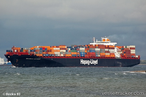
 YANTIAN EXPRESS
Current Status
Where is the vessel?
YANTIAN EXPRESS is currently in 40 nm SE of Morehead City, based on AIS data received about 15h ago.
Latest AIS update:
Current position: 34.18273° N, 76.11369° W (40 nm SE of Morehead City)
Average speed (last 7 days): Loading…
Average speed (last 30 days): Loading…
Vessel profile: YANTIAN EXPRESS is a Container Ship with dimensions m x m.
This page combines live AIS, route history, probable destination signals, nearby traffic, and port activity for practical vessel monitoring.
The current position of vessel YANTIAN EXPRESS is 34.18273 lat / -76.11369 lng. Updated: 2026-05-21 00:09:43 UTCNearest reference points:
- Near Morehead City
- Near BEAUFORT
- 11 nm N of BEAUFORT
Currently sailing under the flag of Liberia ![]()
Details:
Live Vessel YANTIAN EXPRESS Analytics (details, animations, etc.)
Recent AIS points (UTC):
2026-05-20 19:06:56 UTC · 33.43333, -77.32500 · SOG 14 kn · COG -1°2026-05-20 21:52:23 UTC · 33.82333, -76.69667 · SOG 15 kn · COG -1°
2026-05-20 23:07:35 UTC · 34.01500, -76.39667 · SOG 16 kn · COG -1°
2026-05-21 00:09:43 UTC · 34.18273, -76.11369 · SOG 16.3 kn · COG 52°