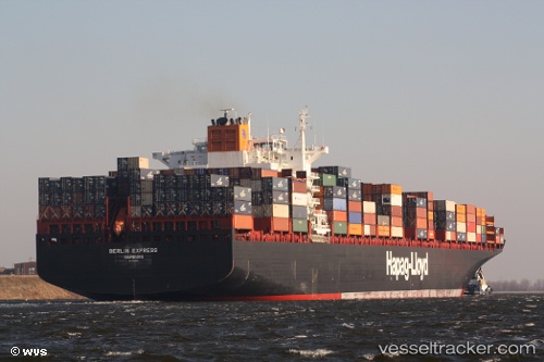
 KIEL EXPRESS
Current Status
Where is the vessel?
KIEL EXPRESS is currently in Near Haspe, based on AIS data received about 14h ago.
Latest AIS update:
Current position: 54.33861° N, 7.16022° E (Near Haspe)
Average speed (last 7 days): Loading…
Average speed (last 30 days): Loading…
Vessel profile: KIEL EXPRESS is a Container Ship with dimensions m x m.
This page combines live AIS, route history, probable destination signals, nearby traffic, and port activity for practical vessel monitoring.
The current position of vessel KIEL EXPRESS is 54.33861 lat / 7.16022 lng. Updated: 2026-05-22 20:01:39 UTCNearest reference points:
- Near Helgoland
- Near NORDERNEY
- Near NORDDEICH
Currently sailing under the flag of Liberia ![]()
Details:
Live Vessel KIEL EXPRESS Analytics (details, animations, etc.)
Recent AIS points (UTC):
2026-05-22 16:40:25 UTC · 53.98288, 8.41962 · SOG 19.5 kn · COG 282°2026-05-22 17:27:49 UTC · 54.01649, 8.06017 · SOG 15.8 kn · COG 287°
2026-05-22 19:22:37 UTC · 54.26093, 7.36804 · SOG 14.9 kn · COG 290°
2026-05-22 20:01:39 UTC · 54.33861, 7.16022 · SOG 13 kn · COG 305°