 AMI
AMI
Current Status
Where is the vessel?
AMI is currently in 34 nm SE of Honghai, based on AIS data received about 14h ago.
Latest AIS update:
Current position: 19.23153° N, 111.42831° E (34 nm SE of Honghai)
Average speed (last 7 days): Loading…
Average speed (last 30 days): Loading…
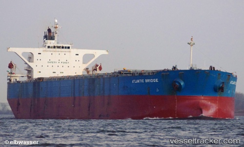
Vessel profile: AMI is a Bulk Carrier with dimensions m x m.
This page combines live AIS, route history, probable destination signals, nearby traffic, and port activity for practical vessel monitoring.
The current position of vessel AMI is 19.23153 lat / 111.42831 lng. Updated: 2026-05-18 23:04:29 UTCNearest reference points:
- Near Honghai
- Near Qinglan Pt
- 37 nm SE of Houan
Currently sailing under the flag of Liberia ![]()
Details:
Live Vessel AMI Analytics (details, animations, etc.)
Recent AIS points (UTC):
2026-05-18 19:52:08 UTC · 18.75333, 111.02500 · SOG 11 kn · COG -1°2026-05-18 21:53:28 UTC · 19.06320, 111.26978 · SOG 11 kn · COG 46°
2026-05-18 22:19:38 UTC · 19.12445, 111.32750 · SOG 11 kn · COG 46°
2026-05-18 23:04:29 UTC · 19.23153, 111.42831 · SOG 11 kn · COG 48°