 PALENA STAR
Current Status
Where is the vessel?
PALENA STAR is currently in Near Platanos, based on AIS data received about 14h ago.
Latest AIS update:
Current position: 34.66824° S, 58.01166° W (Near Platanos)
Average speed (last 7 days): Loading…
Average speed (last 30 days): Loading…
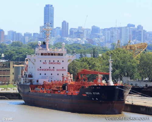
Vessel profile: PALENA STAR is a Oil/Chemical Tanker with dimensions m x m.
This page combines live AIS, route history, probable destination signals, nearby traffic, and port activity for practical vessel monitoring.
The current position of vessel PALENA STAR is -34.66824 lat / -58.01166 lng. Updated: 2026-05-19 07:33:04 UTCNearest reference points:
- Near Dock Sur
- Near Avellaneda
- Near JUAN LACAZE
Currently sailing under the flag of Liberia ![]()
Details:
Live Vessel PALENA STAR Analytics (details, animations, etc.)
Recent AIS points (UTC):
2026-05-19 04:12:06 UTC · -34.76500, -57.87500 · SOG 0 kn · COG -1°2026-05-19 05:37:01 UTC · -34.76664, -57.87528 · SOG 0 kn · COG 289°
2026-05-19 07:25:07 UTC · -34.67782, -57.97844 · SOG 13.3 kn · COG 290°
2026-05-19 07:33:04 UTC · -34.66824, -58.01166 · SOG 13.4 kn · COG 289°