 CALDERA STAR
Current Status
Where is the vessel?
CALDERA STAR is currently in Near San Lorenzo, based on AIS data received about 15h ago.
Latest AIS update:
Current position: 32.72608° S, 60.72713° W (Near San Lorenzo)
Average speed (last 7 days): Loading…
Average speed (last 30 days): Loading…
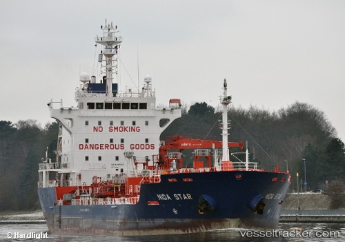
Vessel profile: CALDERA STAR is a Oil/Chemical Tanker with dimensions m x m.
This page combines live AIS, route history, probable destination signals, nearby traffic, and port activity for practical vessel monitoring.
The current position of vessel CALDERA STAR is -32.72608 lat / -60.72713 lng. Updated: 2026-05-22 08:12:29 UTCNearest reference points:
- Near Quebracho/San Lorenzo
- Near Puerto Alumbrera
- 10 nm NW of San Pedro
Currently sailing under the flag of Liberia ![]()
Details:
Live Vessel CALDERA STAR Analytics (details, animations, etc.)
Recent AIS points (UTC):
2026-05-22 04:25:14 UTC · -32.72500, -60.72667 · SOG 0 kn · COG -1°2026-05-22 06:00:58 UTC · -32.72601, -60.72707 · SOG 0 kn · COG -1°
2026-05-22 07:04:14 UTC · -32.72500, -60.72667 · SOG 0 kn · COG -1°
2026-05-22 08:12:29 UTC · -32.72608, -60.72713 · SOG 0 kn · COG -1°