 REMI
REMI
Current Status
Where is the vessel?
REMI is currently in 26 nm SW of Kuala Selangor, based on AIS data received about 4d ago.
Latest AIS update:
Current position: 3.07160° N, 100.69900° E (26 nm SW of Kuala Selangor)
Average speed (last 7 days): Loading…
Average speed (last 30 days): Loading…
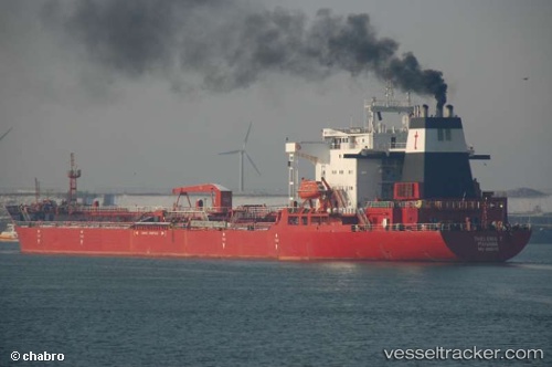
Vessel profile: REMI is a Crude Oil Tanker with dimensions m x m.
This page combines live AIS, route history, probable destination signals, nearby traffic, and port activity for practical vessel monitoring.
The current position of vessel REMI is 3.07160 lat / 100.69900 lng. Updated: 2026-05-18 02:39:20 UTCNearest reference points:
- 21 nm SW of Pulau Indah
- Near Westport/Port Klang
- Near PORT KLANG
Currently sailing under the flag of Nigeria ![]()
REMI built in 1990 year
Deadweight:
40392 tDetails:
Live Vessel REMI Analytics (details, animations, etc.)
Recent AIS points (UTC):
2026-05-18 02:39:20 UTC · 3.07160, 100.69900 · SOG 16.4 kn · COG 127°2026-05-18 02:39:20 UTC · 3.07160, 100.69900 · SOG 16.4 kn · COG 127°
2026-05-18 02:39:20 UTC · 3.07160, 100.69900 · SOG 16.4 kn · COG 127°
2026-05-18 02:39:20 UTC · 3.07160, 100.69900 · SOG 16.4 kn · COG 127°