Tatekulu Andimba
Current StatusWhere is the vessel?
Tatekulu Andimba is currently in 67 nm NW of Luderitz Bay, based on AIS data received about 15h ago.
Latest AIS update:
Current position: 25.97472° S, 14.14684° E (67 nm NW of Luderitz Bay)
Average speed (last 7 days): Loading…
Average speed (last 30 days): Loading…
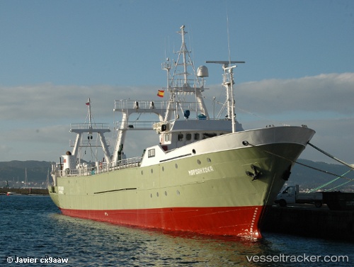
Vessel profile: Tatekulu Andimba is a Fishing Vessel with dimensions 10m x 70m.
This page combines live AIS, route history, probable destination signals, nearby traffic, and port activity for practical vessel monitoring.
The current position of vessel Tatekulu Andimba is -25.97472 lat / 14.14684 lng. Updated: 2026-05-23 05:04:09 UTCNearest reference points:
- Near Luderitz Bay
- 161 nm W of Walvisbaai
Details:
Live Vessel Tatekulu Andimba Analytics (details, animations, etc.)
Recent AIS points (UTC):
2026-05-23 01:28:40 UTC · -25.50650, 14.01498 · SOG 8.8 kn · COG 165°2026-05-23 03:47:30 UTC · -25.80771, 14.10232 · SOG 8.3 kn · COG 163°
2026-05-23 04:22:20 UTC · -25.88396, 14.12284 · SOG 8.2 kn · COG 166°
2026-05-23 05:04:09 UTC · -25.97472, 14.14684 · SOG 7.7 kn · COG 165°