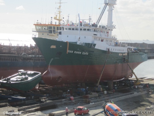
Pont Saint Louis
Current StatusWhere is the vessel?
Pont Saint Louis is currently in 124 nm NW of Saint Louis, based on AIS data received about 14h ago.
Latest AIS update:
Current position: 17.37330° N, 18.13257° W (124 nm NW of Saint Louis)
Average speed (last 7 days): Loading…
Average speed (last 30 days): Loading…
Vessel profile: Pont Saint Louis is a Fishing Vessel with dimensions 14m x 77m.
This page combines live AIS, route history, probable destination signals, nearby traffic, and port activity for practical vessel monitoring.
The current position of vessel Pont Saint Louis is 17.37330 lat / -18.13257 lng. Updated: 2026-05-21 10:07:44 UTCNearest reference points:
- 100 nm NW of Saint Louis
- 119 nm W of Nouakchott
- 90 nm W of Nouakchott
Details:
Live Vessel Pont Saint Louis Analytics (details, animations, etc.)
Recent AIS points (UTC):
2026-05-21 06:10:53 UTC · 17.30957, -18.18642 · SOG 9.6 kn · COG 36°2026-05-21 06:59:47 UTC · 17.41287, -18.11311 · SOG 9.3 kn · COG 298°
2026-05-21 07:52:04 UTC · 17.40329, -18.11546 · SOG 0.6 kn · COG 130°
2026-05-21 10:07:44 UTC · 17.37330, -18.13257 · SOG 1.8 kn · COG 164°