 DUBRA
DUBRA
Current Status
Where is the vessel?
DUBRA is currently in 55 nm SW of Belida Terminal, based on AIS data received about 14h ago.
Latest AIS update:
Current position: 3.30500° N, 104.75667° E (55 nm SW of Belida Terminal)
Average speed (last 7 days): Loading…
Average speed (last 30 days): Loading…
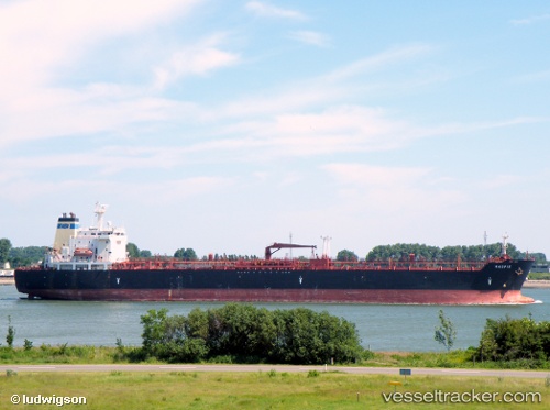
Vessel profile: DUBRA is a Oil/Chemical Tanker with dimensions m x m.
This page combines live AIS, route history, probable destination signals, nearby traffic, and port activity for practical vessel monitoring.
The current position of vessel DUBRA is 3.30500 lat / 104.75667 lng. Updated: 2026-05-22 19:37:03 UTCNearest reference points:
- 80 nm SW of Terempa
- 39 nm SE of Belida Terminal
- 26 nm E of Belida Terminal
Currently sailing under the flag of Sierra Leone ![]()
Details:
Live Vessel DUBRA Analytics (details, animations, etc.)
Recent AIS points (UTC):
2026-05-22 16:06:27 UTC · 2.64037, 104.79595 · SOG 13.9 kn · COG 17°2026-05-22 18:21:38 UTC · 3.13500, 104.96333 · SOG 13 kn · COG -1°
2026-05-22 19:31:21 UTC · 3.29798, 104.77705 · SOG 13.5 kn · COG 289°
2026-05-22 19:37:03 UTC · 3.30500, 104.75667 · SOG 13 kn · COG -1°