 CETUS
CETUS
Current Status
Where is the vessel?
CETUS is currently in 39 nm SW of Porto Empedocle, based on AIS data received about 14h ago.
Latest AIS update:
Current position: 36.68257° N, 13.22278° E (39 nm SW of Porto Empedocle)
Average speed (last 7 days): Loading…
Average speed (last 30 days): Loading…
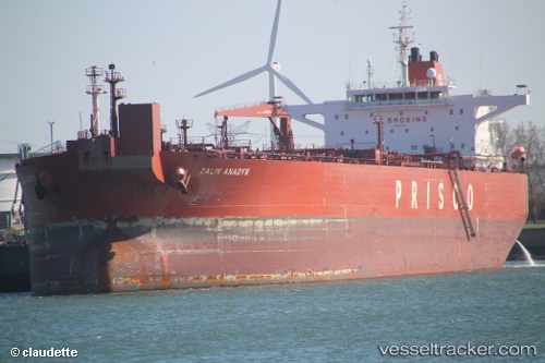
Vessel profile: CETUS is a Crude Oil Tanker with dimensions m x m.
This page combines live AIS, route history, probable destination signals, nearby traffic, and port activity for practical vessel monitoring.
The current position of vessel CETUS is 36.68257 lat / 13.22278 lng. Updated: 2026-05-22 20:01:03 UTCNearest reference points:
- Near Licata
- Near Gela
- Near Scoglitti
Currently sailing under the flag of Sierra Leone ![]()
Details:
Live Vessel CETUS Analytics (details, animations, etc.)
Recent AIS points (UTC):
2026-05-22 16:41:14 UTC · 36.39438, 14.05735 · SOG 12.6 kn · COG 294°2026-05-22 17:30:25 UTC · 36.46295, 13.86115 · SOG 12.8 kn · COG 294°
2026-05-22 19:22:14 UTC · 36.62639, 13.39514 · SOG 13.7 kn · COG 295°
2026-05-22 20:01:03 UTC · 36.68257, 13.22278 · SOG 14.1 kn · COG 299°