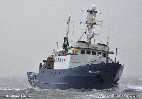
 Hydrograf
Current Status
Where is the vessel?
Hydrograf is currently in 20 nm W of Wenningstedt, based on AIS data received about 15h ago.
Latest AIS update:
Current position: 55.01160° N, 7.76336° E (20 nm W of Wenningstedt)
Average speed (last 7 days): Loading…
Average speed (last 30 days): Loading…
Vessel profile: Hydrograf is a Research Vessel with dimensions 39m x 8m.
This page combines live AIS, route history, probable destination signals, nearby traffic, and port activity for practical vessel monitoring.
The current position of vessel Hydrograf is 55.0116 lat / 7.76336 lng. Updated: 2026-05-21 11:33:17 UTCNearest reference points:
- Near Basel
- Near Blavand
- Near Fanoe
Currently sailing under the flag of Germany ![]()
Hydrograf built in 1967 year
Deadweight:
351 tDetails:
Live Vessel Hydrograf Analytics (details, animations, etc.)
Recent AIS points (UTC):
2026-05-21 07:47:44 UTC · 55.01330, 7.78198 · SOG 3.2 kn · COG 271°2026-05-21 09:48:57 UTC · 55.00500, 7.77133 · SOG 3.9 kn · COG 340°
2026-05-21 11:04:18 UTC · 55.01280, 7.76818 · SOG 4 kn · COG 83°
2026-05-21 11:33:17 UTC · 55.01160, 7.76336 · SOG 2.5 kn · COG 248°