 VIK
VIK
Current Status
Where is the vessel?
VIK is currently in 32 nm NW of Conakry, based on AIS data received about 14h ago.
Latest AIS update:
Current position: 9.74802° N, 14.20412° W (32 nm NW of Conakry)
Average speed (last 7 days): Loading…
Average speed (last 30 days): Loading…
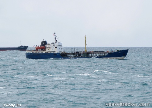
Vessel profile: VIK is a Tanker with dimensions m x m.
This page combines live AIS, route history, probable destination signals, nearby traffic, and port activity for practical vessel monitoring.
The current position of vessel VIK is 9.74802 lat / -14.20412 lng. Updated: 2026-05-21 22:23:55 UTCNearest reference points:
- 49 nm S of Port de Boké
- Near Conakry
- 28 nm S of Conakry
Currently sailing under the flag of Tanzania ![]()
Details:
Live Vessel VIK Analytics (details, animations, etc.)
Recent AIS points (UTC):
2026-05-21 19:50:44 UTC · 9.74792, -14.20386 · SOG 0.1 kn · COG -1°2026-05-21 19:55:53 UTC · 9.74791, -14.20386 · SOG 0.3 kn · COG -1°
2026-05-21 22:07:35 UTC · 9.74803, -14.20400 · SOG 0 kn · COG -1°
2026-05-21 22:23:55 UTC · 9.74802, -14.20412 · SOG 0.4 kn · COG -1°