 ANUBIS
Current Status
Where is the vessel?
ANUBIS is currently in Near Lome, based on AIS data received about 14h ago.
Latest AIS update:
Current position: 6.02589° N, 1.26367° E (Near Lome)
Average speed (last 7 days): Loading…
Average speed (last 30 days): Loading…
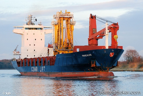
Vessel profile: ANUBIS is a General Cargo with dimensions m x m.
This page combines live AIS, route history, probable destination signals, nearby traffic, and port activity for practical vessel monitoring.
The current position of vessel ANUBIS is 6.02589 lat / 1.26367 lng. Updated: 2026-05-23 04:26:20 UTCNearest reference points:
- Near Ablogamé
- Near Cotonou
- Near Kirikiri
Currently sailing under the flag of Tanzania ![]()
Details:
Live Vessel ANUBIS Analytics (details, animations, etc.)
Recent AIS points (UTC):
2026-05-23 01:56:18 UTC · 6.02595, 1.26362 · SOG 0.3 kn · COG 215°2026-05-23 01:59:19 UTC · 6.02597, 1.26366 · SOG 0.2 kn · COG 215°
2026-05-23 04:11:18 UTC · 6.02593, 1.26363 · SOG 0.5 kn · COG 219°
2026-05-23 04:26:20 UTC · 6.02589, 1.26367 · SOG 0.3 kn · COG 227°