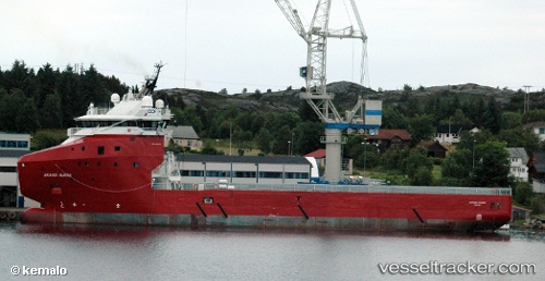
 POSIDONIA PANTHER
Current Status
Where is the vessel?
POSIDONIA PANTHER is currently in 46 nm S of Capixaba FPSO, based on AIS data received about 14h ago.
Latest AIS update:
Current position: 21.98500° S, 39.78333° W (46 nm S of Capixaba FPSO)
Average speed (last 7 days): Loading…
Average speed (last 30 days): Loading…
Vessel profile: POSIDONIA PANTHER is a Multi Purpose Offshore Vessel with dimensions m x m.
This page combines live AIS, route history, probable destination signals, nearby traffic, and port activity for practical vessel monitoring.
The current position of vessel POSIDONIA PANTHER is -21.98500 lat / -39.78333 lng. Updated: 2026-05-21 17:22:29 UTCNearest reference points:
- Near Capixaba FPSO
- 68 nm SE of Espírito Santo FPSO
- Near Fluminense FPSO
Details:
Live Vessel POSIDONIA PANTHER Analytics (details, animations, etc.)
Recent AIS points (UTC):
2026-05-21 14:01:27 UTC · -21.89667, -39.73333 · SOG 1 kn · COG -1°2026-05-21 15:34:29 UTC · -21.97333, -39.78667 · SOG 1 kn · COG -1°
2026-05-21 16:28:27 UTC · -21.97833, -39.78500 · SOG 0 kn · COG -1°
2026-05-21 17:22:29 UTC · -21.98500, -39.78333 · SOG 0 kn · COG -1°