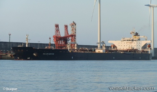
 MILTON SANTOS
Current Status
Where is the vessel?
MILTON SANTOS is currently in Near Vera Cruz, based on AIS data received about 15h ago.
Latest AIS update:
Current position: 12.85511° S, 38.66618° W (Near Vera Cruz)
Average speed (last 7 days): Loading…
Average speed (last 30 days): Loading…
Vessel profile: MILTON SANTOS is a Tanker with dimensions m x m.
This page combines live AIS, route history, probable destination signals, nearby traffic, and port activity for practical vessel monitoring.
The current position of vessel MILTON SANTOS is -12.85511 lat / -38.66618 lng. Updated: 2026-05-22 04:07:56 UTCNearest reference points:
- Near Aracaju
- Near Barra dos Coqueiros
Details:
Live Vessel MILTON SANTOS Analytics (details, animations, etc.)
Recent AIS points (UTC):
2026-05-22 01:07:15 UTC · -12.85671, -38.66745 · SOG 0.1 kn · COG 104°2026-05-22 02:22:13 UTC · -12.85549, -38.66680 · SOG 0.4 kn · COG 141°
2026-05-22 03:40:14 UTC · -12.85504, -38.66589 · SOG 0 kn · COG 177°
2026-05-22 04:07:56 UTC · -12.85511, -38.66618 · SOG 0 kn · COG 170°